Breakthrough Algorithm Enhances Precipitation Mapping on Tibetan Plateau
By Lofty Green
September 17, 2024 4:32 PM IST
New Algorithm Enhances Precipitation-
Precipitation plays a dual role in our lives, providing essential water for rivers and fields but also potentially leading to natural disasters like floods and landslides. Accurate understanding and prediction of precipitation types are crucial for managing these effects.
However, observing and classifying precipitation in challenging environments like the Tibetan Plateau presents unique difficulties. The high altitude of the plateau complicates satellite-based observations, often leading to misclassification of precipitation types. Specifically, the elevation of the Tibetan Plateau is close to the freezing level in the atmosphere, causing weak convective precipitation to be mistakenly identified as stratiform precipitation.
In response to these challenges, a recent study published in *Advances in Atmospheric Sciences* has introduced a new algorithm developed by Prof. Fu Yunfei from the University of Science and Technology of China (USTC) and colleagues from the China Meteorological Administration. Their research identifies the flaws in the existing precipitation-type classification algorithm used for satellite radar and proposes improvements.
Prof. Fu explains that standard methods often overlook the complexities of precipitation classification at different scales. Traditionally, classification methods used in non-plateau regions are overly simplistic, categorizing precipitation as either convective or stratiform. Fu’s team’s new algorithm offers a more nuanced approach by incorporating parameters such as maximum reflectivity factor, background maximum reflectivity factor, and echo top height. This enhanced method provides more detailed classifications, including “strong convective,” “weak convective,” “weak,” and “other,” significantly reducing identification errors.
The improved algorithm could greatly benefit weather forecasting and modeling, especially in mountainous regions like the Tibetan Plateau where traditional methods fall short. Despite the advancements, Fu acknowledges that further research is needed, particularly in confirming the presence of stratiform precipitation during the summer months over the plateau, which remains challenging to detect with current satellite radar technology.
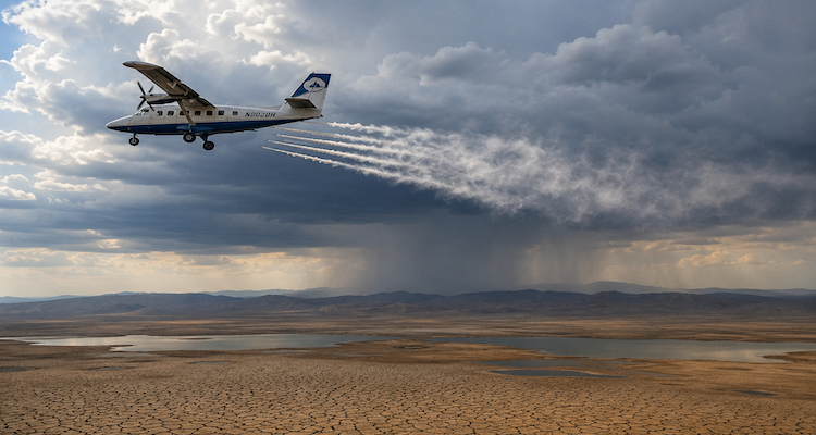
The study is highlighted on the cover of *Advances in Atmospheric Sciences*, featuring a photograph taken by Fu in the Lianbao-Yeze Nature Reserve. The image, captured at over 4,000 meters above sea level, shows convective clouds over a lake and distant mountains, emphasizing the rugged and complex environment studied.