


When Maps Start Updating Themselves
When digital maps begin updating themselves, AI-driven geospatial intelligence reshapes navigation, governance, and the trust we place in digital reality.
The Quiet Revolution in Navigation
It began almost imperceptibly. One morning, a route you’d mapped the night before showed a new road that wasn’t there yesterday. A bridge appeared before it opened to the public. A park shifted in shape, reflecting ongoing construction in near real time. Somewhere behind the familiar blue and green interfaces of our screen maps, machines had begun to draw — and redraw — the world on their own.
This is the story of how maps started updating themselves, quietly changing the way humans perceive geography, surveillance, and truth.
The New Cartographers: Algorithms and Satellites
For centuries, mapping was a human pursuit — explorers charting coastlines, engineers sketching topography, and surveyors marking borders. But the digital age replaced hands with hardware: satellites scanning every inch of Earth, drones flying over unknown terrain, and sensors logging coordinates more accurately than any compass could.
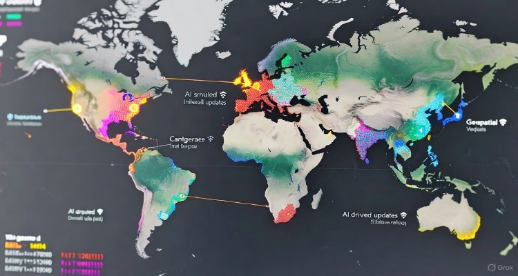
Today, the frontier has shifted again. Artificial intelligence is transforming cartography from descriptive to predictive. Using continuous feeds from Earth observation satellites, autonomous vehicles, and crowd-sourced platforms, AI systems now identify new roads, altered landscapes, or collapsed structures before human teams report them.
Companies like Google, Esri, and startups such as Mapbox and Naver are building adaptive cartographic models — systems that automatically cross-verify satellite data with open-source imagery and municipal updates. Essentially, maps no longer wait for humans to tell them what has changed. They already know.
How Self-Updating Maps Work
At the heart of this transformation lies geospatial machine learning. Satellites capture terabytes of data daily, while computer vision algorithms detect visual changes: a new building’s shadow, a changed riverbank after flooding, or altered vegetation patterns hinting at land use shifts.
AI models analyze these changes, compare them to historic imagery, and update map tiles based on confidence levels. Some systems even use traffic data to infer missing roads. For instance, if vehicle movements consistently traverse an unmarked route, the system learns that a path likely exists — and draws it.
This self-correcting mechanism turns digital maps into living entities — evolving as the real world does, sometimes even faster.
The Accuracy Paradox
However, the automation of mapping introduces a paradox. The faster maps self-correct, the less transparent their decision-making becomes. What if an algorithm misinterprets construction scaffolding as a new building? What if political boundaries get redrawn by an AI misreading satellite data?
Geospatial analyst Ritu Maheshwari explains, “AI-generated maps can be incredibly precise in capturing topography, but they tend to carry invisible bias — they reflect the data they ingest, and that data often comes from unequal or restricted sources.”
In disaster management, for example, self-updating maps can save lives by showing real-time flood movements or newly accessible routes. But in border disputes or conflict regions, these auto-generated visuals could inflame tensions if one side’s territorial claims appear to shift overnight.
Expert Insight and Public Reaction
Experts view self-updating maps as a major leap toward “digital geography” — where the Earth becomes a continuously monitored, computable surface. Dr. Leonard Wong, an urban data researcher at the University of Melbourne, notes, “We’re witnessing a democratization of cartography, but also a quiet handover of authority. The question is no longer whether a road exists, but who decides it does.”
Public response reflects both fascination and unease. Travelers praise the precision of AI maps that instantly show temporary road closures or traffic disruptions. Yet privacy advocates worry about continuous location tracking, especially as smart cities embed mapping algorithms into transportation grids and surveillance systems.
On social media, the phrase “geospatial ghosting” has gained traction — describing moments when familiar landmarks disappear from digital maps after being re-zoned, demolished, or algorithmically misclassified.
Why It Matters: Trust in Digital Reality
Maps are more than navigation tools. They are instruments of truth — visual proof of what exists. When they start updating themselves, our shared sense of geography becomes more fluid, less verifiable, and deeply reliant on unseen systems.
Real-time self-correcting cartography benefits industries like logistics, agriculture, and climate science, but it also raises profound ethical questions. Who verifies that the updates are accurate? How easily could geopolitical narratives be manipulated through digital boundaries?
Governments are already grappling with guidelines for autonomous map updates. Some nations demand that AI-generated maps undergo human verification before public release, citing threats to national security or misinformation. Others hope to leverage these systems for environmental monitoring, climate modeling, and infrastructure planning.
The Future: Maps as Living Systems
As AI advances, maps will likely merge with predictive modeling — not just showing present geography but forecasting future ones. A self-updating map could predict coastal erosion years in advance or generate adaptive routes that factor in climate patterns.
This isn’t just a technical milestone; it’s a philosophical shift. We are entering a world where space and time converge in data, where digital maps mirror the planet’s pulse in real time. The ancient art of mapping is evolving into a living science of perception.
“Maps used to help us find our place in the world,” says Wong. “Now, they’re starting to shape the world we find.”
Conclusion
When maps start updating themselves, the line between reality and representation blurs. What was once static has become organic. The promise is immense — a world constantly charted with precision and adaptability — yet the challenge is equally vast: preserving human oversight, transparency, and trust.
In this new era of geospatial intelligence, maps no longer just describe our planet. They define it, one pixel at a time.
Disclaimer: This article provides general information on emerging geospatial technologies. It does not constitute professional mapping or legal advice regarding geographic data use or policy interpretation.